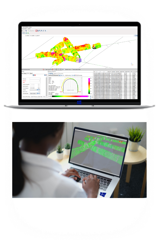
Using digital terrain models and tunnel design values, Xilab, through various mathematical algorithms, determines the accuracy of the excavation.
Overexcavation and underexcavation calculator
Color scale display
Volume calculator
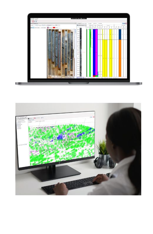
Drill core and maps
Collect information from drill cores and maps
Using Xilab you can collect information about drill cores. You can use the photos of the core boxes as a reference for mapping. You can also collect information in underground or open pit mines such as Litho, structures and any other information that you need because Xilab is a powerful generic system.
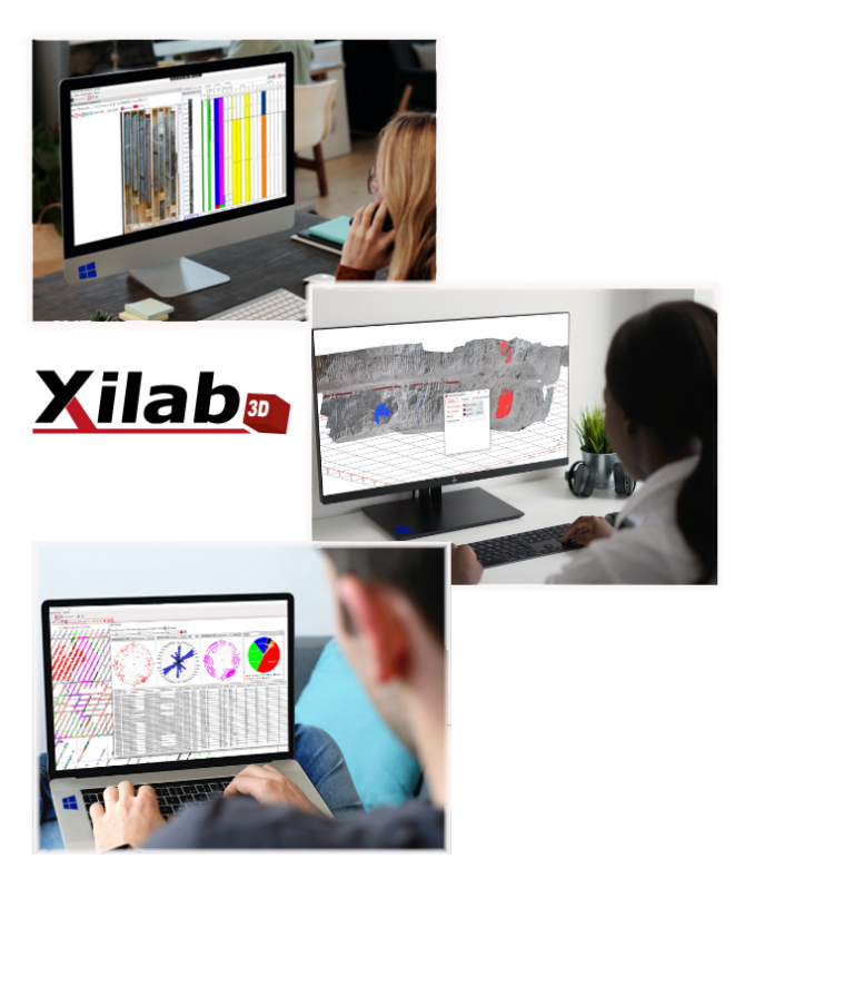
We are a company formed by a consolidated human team, which for more than 10 years has been present in large-scale mining, contributing with our mapping software: Xilab. Our users, mainly geologists, are aware of the quality of our service, which supports their work and improves their productivity. We have designed and built Xilab3D, which incorporates the latest technology available for the capture, visualization and analysis of data in three dimensions.
We develop, implement and provide support to the Xilab software platform that is currently used in large-scale mining and will soon be incorporated into other sectors of the industry. Our software platform adapts to the diverse and demanding information requirements that need to be captured and processed in different business areas. We provide personalized support to our users, who recognize our quality of service.